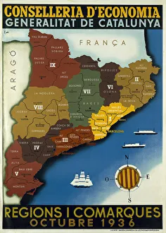
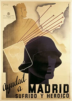
Spanish Civil War Map Of Catalonia Regions And
spanish, civil, war, map, of, catalonia, regions, and, counties, october, poster, edited, by, the, regional, ministry, ecocomy, generalitat, spain, barcelona, biblioteca, de, catalunya, national
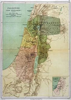
Map Asia Palestine Bible Maps 1st Century Ad
map, asia, palestine, bible, maps, 1st, century, ad, new, testament, times, religion, coast, dead, sea, history, historical, 10114185