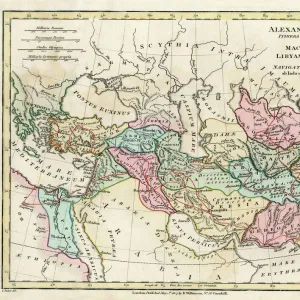
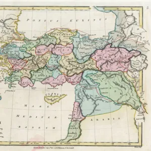
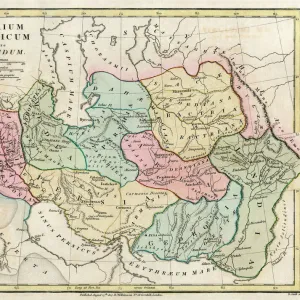
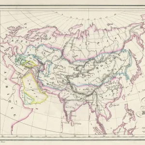
Map of the Ancient Persian Empire

![]()
Wall Art and Photo Gifts from Mary Evans Picture Library
Map of the Ancient Persian Empire
Map of the Ancient Persian Empire, encompassing Greece to the north west, Arabia to the south east, Egypt and Libya to the south west and deep in the Caucasus in the north east. Date: 1798
Media ID 11575329
© Mary Evans / Grenville Collins Postcard Collection
1798 Arabian Caucasus Chart Gulf Maps Mediterranean Persian Persians Scythia Territories Territory
MADE IN THE UK
Safe Shipping with 30 Day Money Back Guarantee
FREE PERSONALISATION*
We are proud to offer a range of customisation features including Personalised Captions, Color Filters and Picture Zoom Tools
SECURE PAYMENTS
We happily accept a wide range of payment options so you can pay for the things you need in the way that is most convenient for you
* Options may vary by product and licensing agreement. Zoomed Pictures can be adjusted in the Basket.