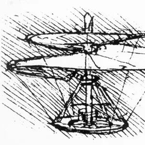
Jigsaw Puzzle : Atlas Novus, 17th c Map of the Caribbean


![]()
Jigsaw Puzzles from Mary Evans Picture Library
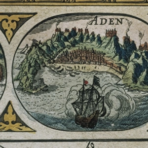
Atlas Novus, 17th c Map of the Caribbean
BLAEU, Jan (1596-1673). Atlas Novus or Atlas Maior. 1635 - 1665. Insulae Americanae in Oceano Septentrionali cum Terris Adiacentibus. Map of the Caribbean islands printed in Amsterdam circa 1645
Media ID 14179456
© Iberfoto/Mary Evans
1571 1596 1635 1638 1645 1665 1673 Amsterdam Antillean Antilles Atlas Blaeu Caribbean Cuba Cuban Cubans Geographic Geographical Geography Honduran Honduras Indies Janszoon Maior Mejico Mexican Mexicans Mexico Monde Novus Willem
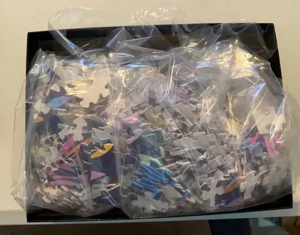
Jigsaw Puzzle (520 Pieces)
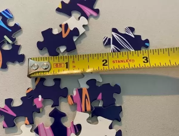
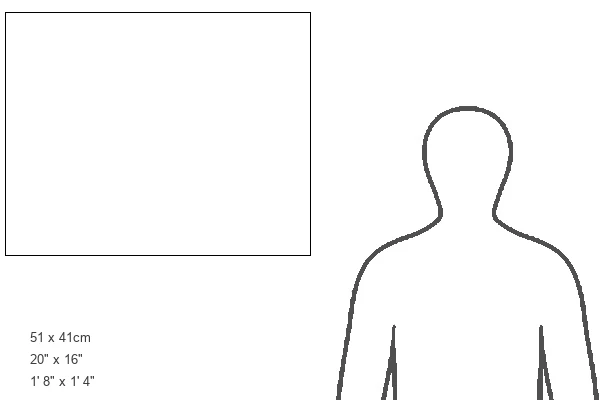
Made in the USA, 520-piece puzzles measure 16" x 20" (40.6 x 50.8 cm). Every puzzle is meticulously printed on glossy photo paper, which has a strong 1.33 mm thickness. Delivered in a black storage cardboard box, these puzzles are both stylish and practical. (Note: puzzles contain small parts and are not suitable for children under 3 years of age.)
Jigsaw Puzzles are an ideal gift for any occasion
Estimated Product Size is 50.8cm x 40.5cm (20" x 15.9")
These are individually made so all sizes are approximate
Artwork printed orientated as per the preview above, with landscape (horizontal) or portrait (vertical) orientation to match the source image.
MADE IN THE USA
Safe Shipping with 30 Day Money Back Guarantee
FREE PERSONALISATION*
We are proud to offer a range of customisation features including Personalised Captions, Color Filters and Picture Zoom Tools
SECURE PAYMENTS
We happily accept a wide range of payment options so you can pay for the things you need in the way that is most convenient for you
* Options may vary by product and licensing agreement. Zoomed Pictures can be adjusted in the Cart.