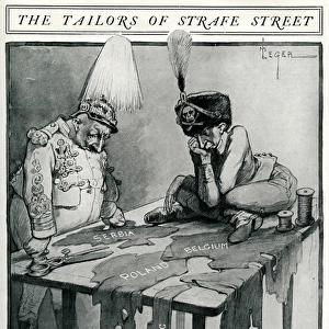
Titanic - Danger Field of the Atlantic with routes through i

![]()
Wall Art and Photo Gifts from Mary Evans Picture Library
Titanic - Danger Field of the Atlantic with routes through i
A diagram or map showing the dangerous area of the Atlantic Ocean indicating steamer routes that cut through fog and ice. It was here that the Titanic hit an iceberg on 15 April 1912 and sank with the loss of over 1500 lives. Described here in The Sphere in its report on the disaster as a fog factory, due to the warm gulf stream meeting the cold Labrador current. Date: 1912
Media ID 7245437
© Illustrated London News Ltd/Mary Evans
Area Atlantic Cold Course Danger Dangerous Diagram Disaster Disasters Gulf Ice Berg Ice Bergs Labrador Report Route Routes Shipping Sphere Stream Titanic Tragedy Treacherous
MADE IN THE USA
Safe Shipping with 30 Day Money Back Guarantee
FREE PERSONALISATION*
We are proud to offer a range of customisation features including Personalised Captions, Color Filters and Picture Zoom Tools
FREE COLORIZATION SERVICE
You can choose advanced AI Colorization for this picture at no extra charge!
SECURE PAYMENTS
We happily accept a wide range of payment options so you can pay for the things you need in the way that is most convenient for you
* Options may vary by product and licensing agreement. Zoomed Pictures can be adjusted in the Cart.