Home > New Images August 2021
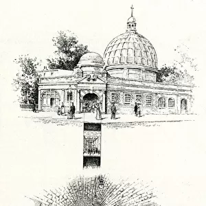
Map of underground and overground stations, South London

![]()
Wall Art and Photo Gifts from Mary Evans Picture Library
Map of underground and overground stations, South London
Map of underground and overground stations connecting the City to South London. The overground lines are the London & South Western Railway and the London Chatham & Dover Railway, serving London Bridge, Cannon Street, Waterloo and Charing Cross. The underground line was named the City Line (now part of the Northern Line), running from City (now Bank) to Stockwell, via Borough, Elephant & Castle, Kennington and Oval. Date: 1894
Media ID 23269580
© Mary Evans Picture Library
1894 Brixton Chatham Dover Lambeth Lines Maps Railways Soho Stations Stockwell Tube Underground Walworth Westminster
MADE IN THE UK
Safe Shipping with 30 Day Money Back Guarantee
FREE PERSONALISATION*
We are proud to offer a range of customisation features including Personalised Captions, Color Filters and Picture Zoom Tools
SECURE PAYMENTS
We happily accept a wide range of payment options so you can pay for the things you need in the way that is most convenient for you
* Options may vary by product and licensing agreement. Zoomed Pictures can be adjusted in the Basket.