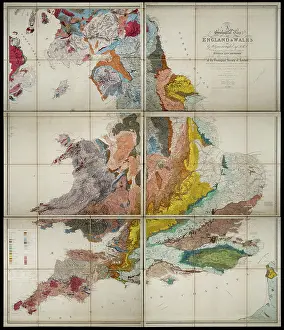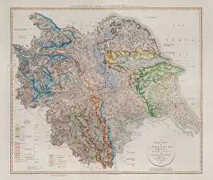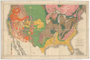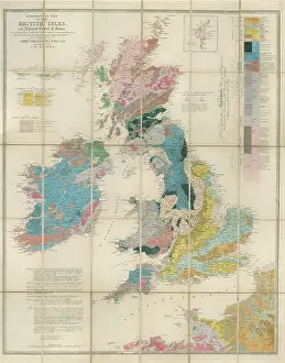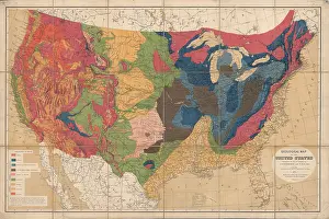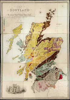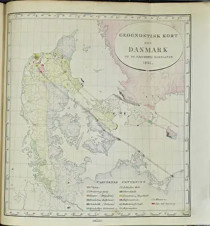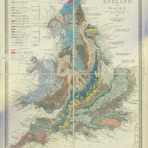
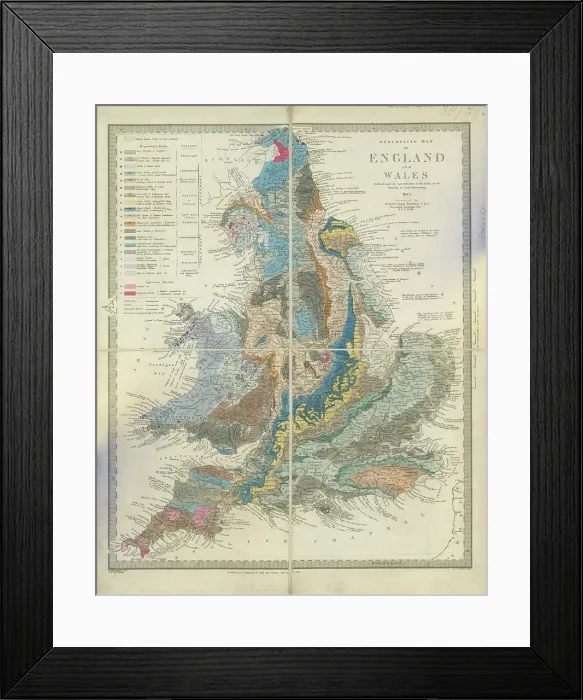
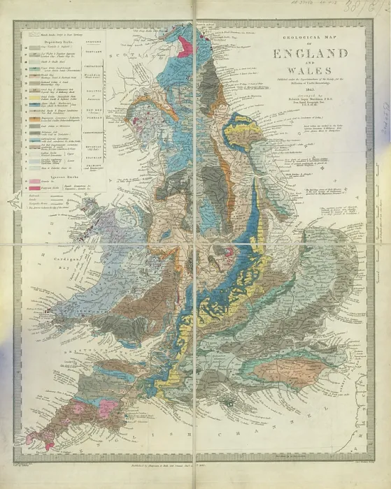

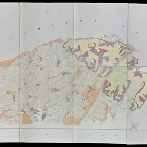
Geological map of England and Wales (Murchison, 1843)

Framed Print : Geological map of England and Wales (Murchison, 1843)
product preview 0
product preview 1
product preview 2
product preview 3
Size Guide
Close

Viewer Controls

  • Rotate: Left-click + drag
  • Pan: Right-click + drag
  • Zoom: Scroll wheel

3d_rotation Open 3D Preview


photo_prints
Prints
fullscreen_portrait
Framed Prints
photo_prints
Poster Prints
extension
Jigsaw Puzzles
dual_screen
Cards
local_florist
Canvas Prints
planner_banner_ad_pt
Mounted Prints
download
Licensed Download
palette
Fine Art Prints
local_cafe
Home Decor
local_florist
Metal Prints

Framed Prints


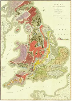
Framed Print of Geological map of England and Wales (Murchison, 1843)

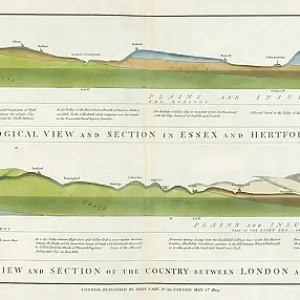
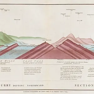
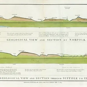
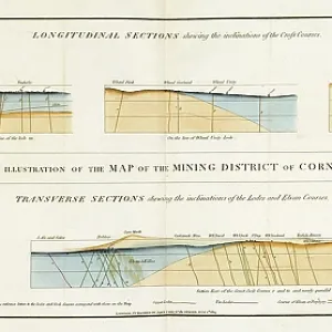
Geological map of England and Wales published under the superintendence of the Society for the Diffusion of Useful Knowledge, by Sir Roderick Impey Murchison (1792-1871). Lithograph and watercolour on paper, dissected and mounted on linen Date: 1843. Mary Evans Picture Library makes available wonderful images created for people to enjoy over the centuries. © The Geological Society / Mary Evans

Your chosen combination is quickly and professionally made to order, our shipping page has more details

If you are not entirely happy with your items, simply return them to us within 30 days for a replacement or full refund. Please read our full returns policy.

Media ID 44619346


1792 1871 1843 Diffusion Dissected Geological Impey Knowledge Linen Mounted Murchison Roderick

local_shipping Fast Delivery
volunteer_activism Great Value
credit_card_heart 100% Payment Secure
undo 30 Days Return

Modern Frame 14"x12" (36x31cm)

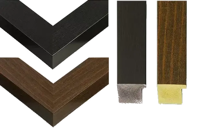
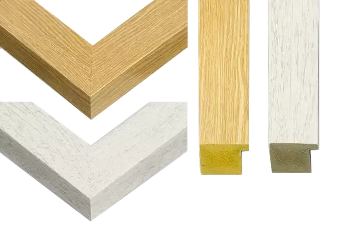
Ready to Hang Contemporary Framed Prints adds style, protection, and a polished touch to your space - effortlessly.

Your artwork will be printed as shown in the preview. To adjust please select Edit Printed Image under the Buy button

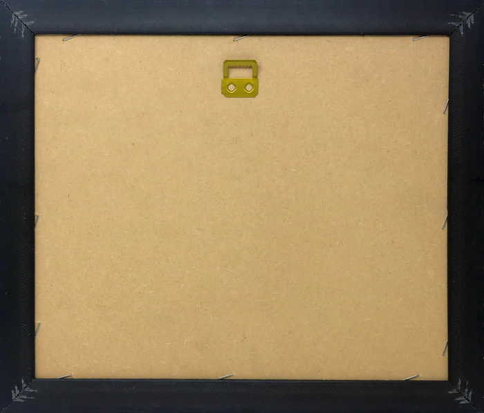
Wood effect frame, card mounted, 10x8 fade resistant photo print. Overall outside dimensions 14x12 inches (36x31cm). Environmentally and ozone friendly, 40mm wide x 15mm Polycore® moulding has the look of real wood, is durable and light and easy to hang. Biodegradable and made with non-chlorinated gases (no toxic fumes) it is efficient; producing 100 tons of polystyrene can save 300 tons of trees! Prints are glazed with lightweight, shatterproof, optical clarity acrylic (providing the same general protection from the environment as glass). The back is stapled hardboard with a sawtooth hanger attached. Note: measurements provided are estimated outer dimensions, which include both the image and the frame. While we aim to keep sizing consistent, exact dimensions may vary slightly due to differences in print size or production requirements, which may result in a variation in the overall size (up to approximately 2.5cm (1"))

These are individually made so all sizes are approximate

Estimated Image Size (if not cropped) is 19.3cm x 24.1cm (7.6" x 9.5")

Estimated Product Size is 31cm x 36cm (12.2" x 14.2")


Features In These Collections

> The Geological Society of London > Maps, Plans, Charts and Sections
You May Also Like


Gallery Wall Inspiration

Uebergangs-Territorium von Christiania (Keilhau 1850)
Geological views, sections - Essex-Herts - London-Cambridge
Vertical Section of Strata in Surry (Smith, 1819)
Geological view and sections of Norfolk and Suffolk
Geological Sections -Map of the Mining District of Cornwall
First geological map of Denmark (Forchhammer 1835)
Six Days of Geology (Grover 1878)
Mineralogical map of Dublin (Stephens 1812)
Geological map of Majorca and Minorca (Marmora 1834)
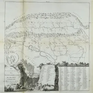
Mineral map of Switzerland (Gruner 1770)
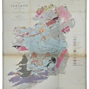
Geological map of Ireland (Griffith 1837)
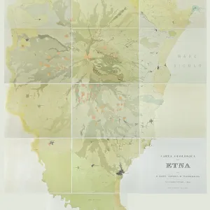
Carta geologica dell Etna (Waltershausen 1836-1843)
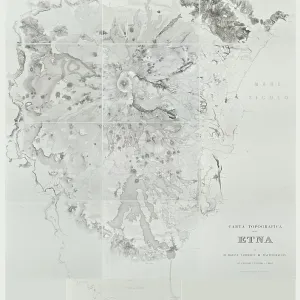
Carta topographica dell Etna (Waltershausen 1836-1843)
Map of the Damoodah and adjacent coal field (Williams 1847)
Overzigt der Geologie van Nederland (Staring 1860)
Map of Malta and its dependencies (Brocktoff 1838)
Geological Map of the South-Eastern part of Sussex
Erster Versuch einer Geognostischen Karte von Norwegen
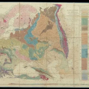
Murchison's Map of Russia (1847)
Geological map of England and Wales (Murchison, 1843)
Hydrogeological map of Alnwick and its neighbourhood
Principal European groups of stratified rocks
Diametric section of the principles and theories of geology
Sketch of the Geological Formation of the Auckland District
Geognostic map of Sweden (1834)
Chart of Sarawak, Borneo (1846)
Geological map of Malta (1856)


© Copyright Mary Evans Picture Library - All Rights Reserved 2026
Orders fulfilled by Media Storehouse®
We accept all major payment options so you can pay for the things you need in the way that is most convenient for you
Facebook     Twitter     Instagram