mail_outline sales@mediastorehouse.com
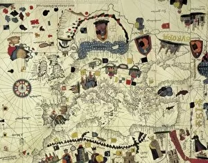
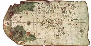
COSA, Juan de la (1460-1510). Cartographer. Nautical chart. 1500. Detail. SPAIN. Madrid. Navy Museum
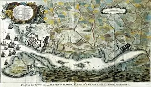
Map of Mahith the San Felipe castle, 18thMap of Mah ith the San Felipe castle, 18th c. Engraving
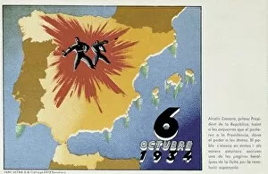
Spain. Second Republic (1931-1936). 6th October
Chart by Juan de la Cosa (1500). SPAIN. Madrid. Navy Museum
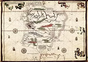
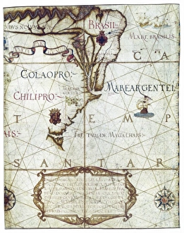
Portolan chart, 1587. Map of South America. Made in Messina. Renaissance art. Miniature Painting. SPAIN. Madrid. National Library
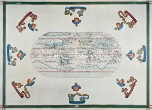
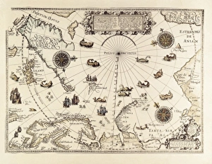
Portolan chart atlas, 1591. World map. Renaissance
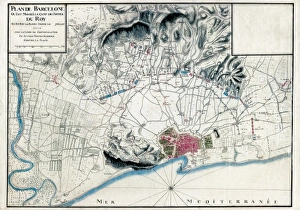
Spain (1713). War of the Spanish Succession. Siege of Barcelona. French map with the position of the Louis XIVs troops
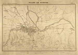
Map of Gerona (1809). SPAIN. Madrid. National Library
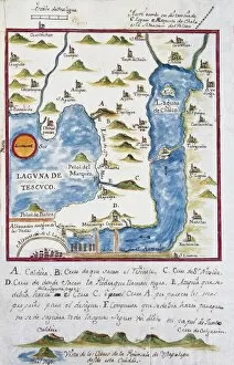
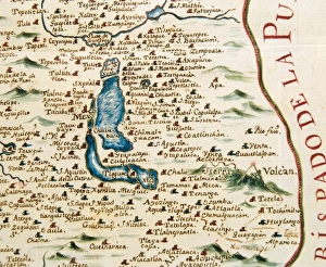
Map of the archbishopric of Mexico (1767), by Jos頁 ntonio Alzate. View of the area of Tenochtitlan, the lagoons of Chalco and Tescuco. From the Lorenzana-Borb ollection. SPAIN. Toledo
Plan of the archbishopric of Mexico: Mexico City and his lagoon. 1767. Collection Lorenzana-Borb Miniature Painting. SPAIN. Toledo. State Public Library
Universa ac Navigabilis Totius Terrarum Orbis
BARENTS, Willem (1550-1597). Dutch Navigator
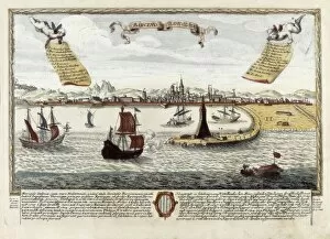
Port of Barcelona at the second half of 18th c. Engraving. SPAIN. Barcelona. Barcelona City History Museum
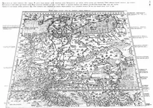
Central EuropeDetailed map of central Europe with Latin place names, showing Prussia, Polonia, Bohemia Date: 1450
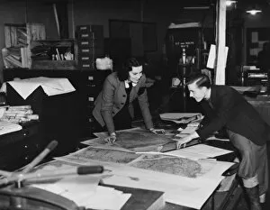
Map Department, WWIIWorking in the map department during World War II