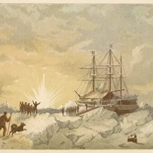
The Admiralty Chart of the Arctic Region, 1875

![]()
Wall Art and Photo Gifts from Mary Evans Picture Library
The Admiralty Chart of the Arctic Region, 1875
Engraving showing a map of the Arctic region, produced by the British Admiralty in 1875. Although mostly complete, the blank area around the North Pole shows the area that had not yet been visited and charted by explorers
Media ID 4386289
© Illustrated London News Ltd/Mary Evans
1875 Admiralty Arctic Area Blank Chart Charted Complete Explorers Pole Produced Region Visited
MADE IN THE UK
Safe Shipping with 30 Day Money Back Guarantee
FREE PERSONALISATION*
We are proud to offer a range of customisation features including Personalised Captions, Color Filters and Picture Zoom Tools
FREE COLORIZATION SERVICE
You can choose advanced AI Colorization for this picture at no extra charge!
SECURE PAYMENTS
We happily accept a wide range of payment options so you can pay for the things you need in the way that is most convenient for you
* Options may vary by product and licensing agreement. Zoomed Pictures can be adjusted in the Basket.