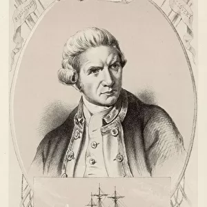
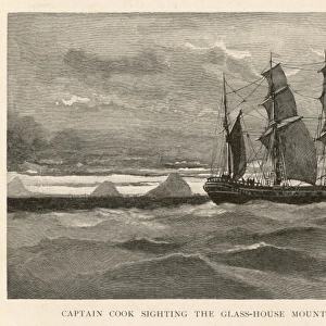
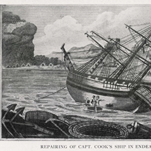
World map 1784 showing the Cook Voyages

![]()
Wall Art and Photo Gifts from Mary Evans Picture Library
World map 1784 showing the Cook Voyages
A general chart exhibiting the discoveries made by Captain James Cook in this and his preceeding voyages with tracks of the ships under his command
Media ID 8580777
© Mary Evans / Natural History Museum
1784 18th Century Captain Cook Captain James Cook Chart Continent Cook Discovery Track Voyage
MADE IN THE UK
Safe Shipping with 30 Day Money Back Guarantee
FREE PERSONALISATION*
We are proud to offer a range of customisation features including Personalised Captions, Color Filters and Picture Zoom Tools
SECURE PAYMENTS
We happily accept a wide range of payment options so you can pay for the things you need in the way that is most convenient for you
* Options may vary by product and licensing agreement. Zoomed Pictures can be adjusted in the Basket.