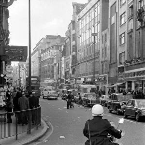
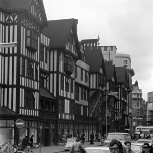
Map to the nightlife of London, 1965

![]()
Wall Art and Photo Gifts from Mary Evans Picture Library
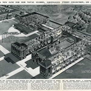
Map to the nightlife of London, 1965
A handdrawn pullout map of Soho, Leicester Square and the West End as far as Hyde Park, showing theatres, cinemas and restaurants in Central London. Intended as a motorists entertainment guide, the map also features garages, one-way streets and car parks. The restaurants were chosen because they specialised in late-night dining.
1966
Media ID 14373828
© Illustrated London News Ltd/Mary Evans
1966 Cinemas Cities Congestion Driving Garages Hyde Jan16 Leicester Maps Motorist Motorists Nightlife Parking Parks Restaurants Soho Theatres Traffic
MADE IN THE UK
Safe Shipping with 30 Day Money Back Guarantee
FREE PERSONALISATION*
We are proud to offer a range of customisation features including Personalised Captions, Color Filters and Picture Zoom Tools
SECURE PAYMENTS
We happily accept a wide range of payment options so you can pay for the things you need in the way that is most convenient for you
* Options may vary by product and licensing agreement. Zoomed Pictures can be adjusted in the Basket.