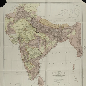
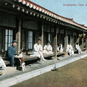
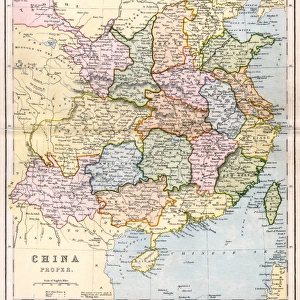
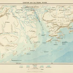
WW2 - Map of China, Korea, Formosa and the southern part of

![]()
Wall Art and Photo Gifts from Mary Evans Picture Library
WW2 - Map of China, Korea, Formosa and the southern part of
Map of China, Korea, Formosa and the southern part of Japan, 27 Mar 1944. Compiled and drawn in the Branch of Research and Analysis, oss. Subtitled: Terrain and TransportationThe map represents the highland schematically as mountains and marks railways, roads and ?selected trails? as well as the main towns. From a collection of four maps of the Far East, used by C E R Clarabut, Combined Operations, 1944-1945. Large-scale map of China, more detailed maps of Canton and Hong Kong and of the area around Chittagong in India and Burma. Date: 1944
Media ID 14404016
© The National Army Museum / Mary Evans Picture Library
1944 Analysis Compiled Drawn Formosa Highland Korea Main Marks Railways Represents Research Roads Selected Southern Terrain Trails
MADE IN THE UK
Safe Shipping with 30 Day Money Back Guarantee
FREE PERSONALISATION*
We are proud to offer a range of customisation features including Personalised Captions, Color Filters and Picture Zoom Tools
SECURE PAYMENTS
We happily accept a wide range of payment options so you can pay for the things you need in the way that is most convenient for you
* Options may vary by product and licensing agreement. Zoomed Pictures can be adjusted in the Basket.