Ottoman Turkish Map of Southern Iraq

![]()
Wall Art and Photo Gifts from Mary Evans Picture Library
Ottoman Turkish Map of Southern Iraq
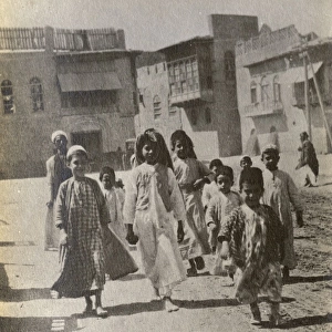
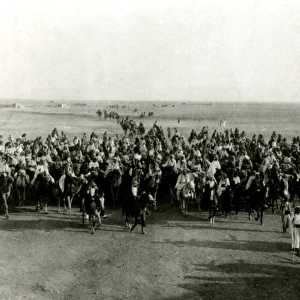
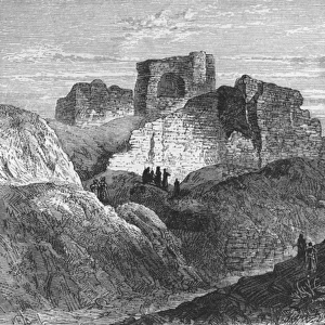
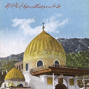
Ottoman Turkish Map of the southern province of Iraq and the territory which is now Kuwait, The area depicted focusses on Basra and the Shatt al-Arab region leading out into the Persian Gulf (lower right hand section of the map) Date: circa 1907
Media ID 7212951
© Mary Evans / Grenville Collins Postcard Collection
Arab Basra Gulf Iran Iraq Kuwait Mesopotamia Persia Persian Shatt Southern
MADE IN THE UK
Safe Shipping with 30 Day Money Back Guarantee
FREE PERSONALISATION*
We are proud to offer a range of customisation features including Personalised Captions, Color Filters and Picture Zoom Tools
SECURE PAYMENTS
We happily accept a wide range of payment options so you can pay for the things you need in the way that is most convenient for you
* Options may vary by product and licensing agreement. Zoomed Pictures can be adjusted in the Basket.