Home > New Images August 2021
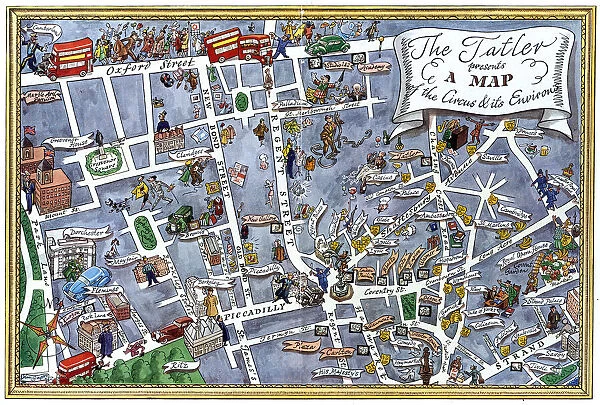
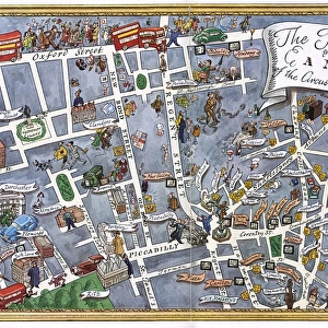
The Tatler presents map of Piccadilly Circus & its environs
![]()
Wall Art and Photo Gifts from Mary Evans Picture Library
The Tatler presents map of Piccadilly Circus & its environs
A fabulous map illustration of Londons West End focusing on the area radiating from Piccadilly Circus pin pointing main streets, hotels, night spots, theatres and landmarks. Date: 1950
Media ID 23102470
© Illustrated London News Ltd/Mary Evans
1950 Bond Buses Circus Hotels Jan19 Landmarks Maps Overview Piccadilly Regent Theatreland Theatres
MADE IN THE UK
Safe Shipping with 30 Day Money Back Guarantee
FREE PERSONALISATION*
We are proud to offer a range of customisation features including Personalised Captions, Color Filters and Picture Zoom Tools
SECURE PAYMENTS
We happily accept a wide range of payment options so you can pay for the things you need in the way that is most convenient for you
* Options may vary by product and licensing agreement. Zoomed Pictures can be adjusted in the Basket.

