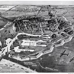
Home > New Images August 2021
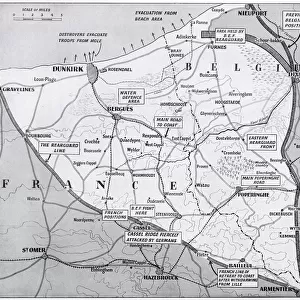
Map of Dunkirk area during the evacuation, WW2

![]()
Wall Art and Photo Gifts from Mary Evans Picture Library
Map of Dunkirk area during the evacuation, WW2
Map of the Dunkirk area in northern France during the evacuation, showing two flooded areas of low-lying meadow land which assisted in the Allied retreat. Date: 1940
Media ID 23275268
© Illustrated London News Ltd/Mary Evans
Dunkirk Evacuated Evacuation Expeditionary Maps Nov19 Rescue Rescued Return Saved
MADE IN THE UK
Safe Shipping with 30 Day Money Back Guarantee
FREE PERSONALISATION*
We are proud to offer a range of customisation features including Personalised Captions, Color Filters and Picture Zoom Tools
SECURE PAYMENTS
We happily accept a wide range of payment options so you can pay for the things you need in the way that is most convenient for you
* Options may vary by product and licensing agreement. Zoomed Pictures can be adjusted in the Basket.