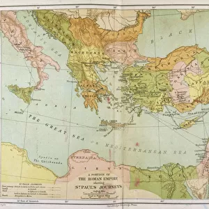
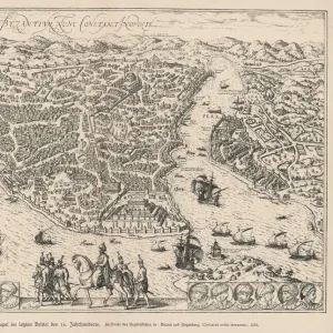
Map of The Byzantine Empire

Wall Art and Photo Gifts from Mary Evans Picture Library
Map of The Byzantine Empire
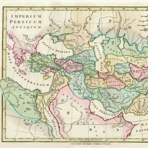
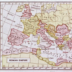
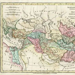
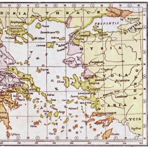
A map showing the extent of the Byzantine Empire - the predominantly Greek-speaking continuation of the Roman Empire during Late Antiquity and the Middle Ages. Date: 1800
Media ID 11575341
© Mary Evans / Grenville Collins Postcard Collection
1800 Anatolia Assyria Byzantine Byzantium Continuation Crete Cyprus Mediterranean Minor
MADE IN THE USA
Safe Shipping with 30 Day Money Back Guarantee
FREE PERSONALISATION*
We are proud to offer a range of customisation features including Personalised Captions, Color Filters and Picture Zoom Tools
SECURE PAYMENTS
We happily accept a wide range of payment options so you can pay for the things you need in the way that is most convenient for you
* Options may vary by product and licensing agreement. Zoomed Pictures can be adjusted in the Cart.