mail_outline sales@mediastorehouse.com
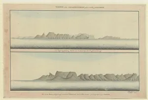
Raper drawing No. 11Views in the neighbourhood of the Cape of Good Hope. (a) the Sugar Loaf [and] the Lyons Rump & Sugar-Loaf on with the Table-Land 1790
Roode Sand PassHand coloured aquatint View of the Roode Sand Pass near the Cape of Good Hope, drawn by Henry Salt, Engraved by I. Buck, 1809 Date: 1809
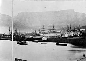
Simons Town, Cape of Good Hope, c. 1870A photograph taken during the voyage of H.M.S. Challenger (1872-1876) funded by the British Government for scientific purposes
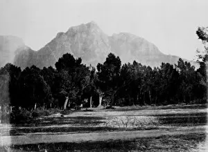
Avenue, Cape of Good HopeA photograph taken during the voyage of H.M.S. Challenger (1872-1876) funded by the British Government for scientific purposes
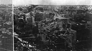
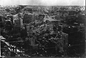
Diamond field, Cape of Good HopeA photograph taken during the voyage of H.M.S. Challenger (1872-1876), funded by the British Government for scientific purposes
Devils Bridge, Cape of Good Hope. Western Cape, South AfriA photograph taken during the voyage of H.M.S. Challenger (1872-1876) funded by the British Government for scientific purposes
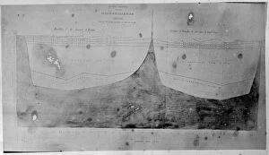
Chart of oceanic section, Tristan D Acunha to Cape of Good HA photograph taken during the voyage of H.M.S. Challenger (1872-1876) funded by the British Government for scientific purposes
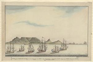
Raper drawing No. 12View of the Table-Land from the Anchorage in the bay of Cape Good-hope. By George Raper, 1792
Diamond fields, Cape of Good HopeA photograph taken during the voyage of H.M.S. Challenger (1872-1876), funded by the British Government for scientific purposes